Protecting Civilian Infrastructure from Drones: Challenges and Solutions
Add bookmark

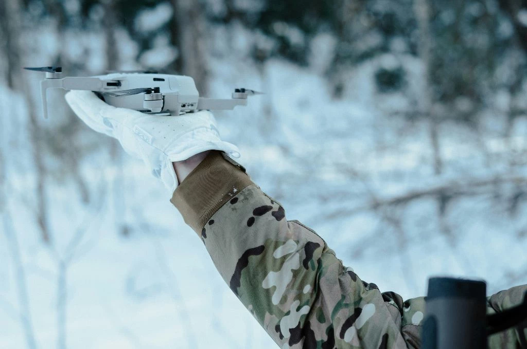
The rapid proliferation of unmanned aerial vehicles (UAVs), or drones, has transformed them from niche tools into significant threats to civilian infrastructure worldwide. Critical sites such as power grids, oil refineries, transportation hubs, airports, and data centres are increasingly vulnerable to drone-based attacks, surveillance, or disruptions.
Drones advance at an astonishing pace. New generations appear every three to four months, enhancing their range, speed, autonomy, and resilience against electronic warfare.
The defender’s problem is not just “find and stop a drone.” It is to build a capability that can detect, identify, track, and respond safely under civilian constraints, and then adapt as the threat evolves.
Counter UAS, short for counter Unmanned Aerial Systems, should be treated as an integrated set of techniques rather than a single tool, with detection, tracking, and identification as foundational functions that must work together.
Effective protection is increasingly a systems engineering problem spanning sensors, communications, command and control, legal authority, safety policy, and continuous improvement.
The Civilian Constraint
Military and civilian counter-drone operations operate under different constraints, even though both involve critical risks and high stakes. Military environments may permit a broader range of effects due to the nature of armed conflict. Civilian protection does not. In civilian settings, the cost of error includes not only human safety but also legal exposure, operational disruption, and loss of public trust.
These factors shape system design priorities. High-confidence identification and track quality must balance detection range. Engagement decisions must be auditable and tied to a clearly defined authority. Electronic measures must be carefully bounded to avoid disrupting critical communications. Systems must also manage false positives without creating response fatigue.

A Practical Framework
Most counter-UAS programs converge on the following operational chain:
- Detect: initial awareness of an aerial anomaly
- Track: continuous estimation of position and trajectory
- Identify: classification, intent assessment, and confidence scoring
- Decide: rules-based escalation with documented authority
- Respond: safe, lawful intervention options appropriate to the site
- Assess: confirm outcome and manage consequences
- Learn: update models, policies, and coverage assumptions
Detection Challenges
· Radar: early warning with geographical limits
Radar remains central for longer-range detection, especially against larger fixed-wing drones. The limitation is not only the cross-section but also the radar horizon and clutter. Low altitude flight can remain unseen behind terrain, buildings, vegetation, or industrial structures. This is one reason low-altitude threats are repeatedly flagged as a detection challenge for traditional systems.
For civilian sites, radar is most valuable when it buys time. Time means distance. If a site only sees a target at a few kilometres, response options narrow rapidly, and safety constraints dominate.
· RF sensing: strong when links exist, weak in autonomy
RF detection is valuable when drones emit command-and-control signals or known telemetry. It becomes less effective when drones use autonomy, pre-planned routes, or reduced emissions. Multiple references explicitly note that UAS may operate without active RF signals, underscoring the need for layered sensing rather than relying solely on RF.
· EO and IR: identification evidence, not just detection
Electro-optical and infrared sensors support visual confirmation, classification, and post-incident verification. They also suffer from weather-related issues, line-of-sight limitations, and a shorter range than radar, which is why they should be treated as confirmation and tracking sensors. In modern counter drone systems, EO and IR are commonly paired with radar and RF rather than used alone.
· Acoustic sensing: valuable, limited, and environment dependent
Acoustic sensors can help close gaps in low-altitude detection and provide another modality for classification. Their constraints are range and noise. Industrial environments, rail corridors, and urban soundscapes can reduce performance. Still, acoustic sensors are often helpful as a near-layer in a broader topology, especially when paired with EO confirmation.
· Novel sensors: lidar and others, attractive but cost-sensitive
Lidar and laser-based sensors are often proposed to enhance drone detection through high-resolution 3D scanning. In practice, their usefulness is limited by a short effective range, a narrow field of view, and sensitivity to weather conditions such as fog, rain, and dust. Covering large perimeters with lidar also becomes cost-intensive. As a result, these technologies are best suited for niche or supplemental roles rather than as primary detection layers.
The strongest projects should invest in sensor fusion because it reduces false alarms and produces a coherent tracking picture. The European Commission Joint Research Centre has published dedicated work on detection, tracking, and identification concepts, as well as on data fusion in counter UAS contexts, reinforcing the need for systems to integrate multiple techniques rather than rely on a single sensor.
When evaluating or designing a layered detection system, leaders should ask for clear answers to the following questions:
- How does the system fuse tracks across sensors?
- What confidence score is assigned, and what data supports it?
- How are false positives measured and reduced over time?
- How long is telemetry retained for trend analysis and incident reconstruction?
Identification Challenges
In civilian situations, identification is the boundary between security operations and lawful action. A detected track is not yet a threat. Threat assessment must consider object type, behavior, likely payload risk, and the consequences of engaging the wrong target.
Identification operates in adversarial conditions, where acoustic signatures can be spoofed, visual confirmation can be degraded by weather, and RF indicators can be absent due to autonomy. Therefore, again, effective identification depends on multiple sensing modalities. It must support operator confidence, legal defensibility, and post-event review.
Response Challenges
It is common to discuss response as “soft kill” and “hard kill.” The terms are imperfect for civilian contexts because the real question is controlled risk.
· Electronic effects
Electronic measures can disrupt navigation or control links. They are constrained by regulation, proximity to critical communications, and the possibility of unintended effects. They can also fail against autonomy.
If electronic effects are part of a civilian strategy, their use must be clearly bounded and carefully controlled. Directional application and deconfliction are essential to prevent unintended interference, and deployment must be supported by documented authority.
Effective use also requires coordination with communications stakeholders to ensure that critical services are not disrupted.
· Kinetic and physical interception
Physical interception can be effective but introduces debris risk and requires strict safety zones. It also demands high-confidence identification. In civilian environments, the safest physical options often involve interception concepts that control where debris goes rather than simply destroying the target.
Communications and Command and Control
Counter UAS is not a sensor problem. It is a sensor-plus-command problem. Distributed sensors are useless if data cannot reach an operator with low latency. Response assets are useless if authorization and coordination break down under interference or overload.
This is also where many civilian programs underestimate complexity. The threat environment may include jamming, RF noise, electromagnetic clutter, malware infections, etc. If your architecture assumes ideal comms, it will fail under stress.
A practical design goal is resilience through redundancy:
- Multiple communications paths where feasible
- Degraded mode operations that remain safe
- Local autonomy for tracking and alerting, but human decision control for response
- A fusion layer that does not collapse if one sensor type is lost
Topology Matters
Effective detection depends not only on sensor capability but also on how sensors are placed and integrated across the defended area. In civilian environments, protection typically relies on a layered topology.
An outer layer provides early warning and buys time, often using radar or long-range electro-optical sensors where geography permits.
A middle layer improves track continuity and classification confidence, while a near layer closes low-altitude gaps using localized electro-optical and acoustic coverage. Response elements are then aligned with safety zones and defined decision authorities.
This layered approach reflects the reality that defending civilian sites is fundamentally about time. Systems designed to provide minutes of warning enable controlled, lawful responses. Systems that provide only seconds tend to force risky last-minute actions.
Regional Coordination
Civilian sites often cannot guarantee full coverage on their own, particularly when drones can be launched nearby or approach from multiple directions. Adequate protection increasingly depends on regional coordination and shared detection networks. This is especially relevant for clusters of infrastructure such as industrial corridors, ports, and rail hubs. Distributed sensing across a wider area can extend early warning, but only when implemented through governed regional sensor grids with clear rules for data sharing, retention, escalation, and accountability.
Building a Credible Civilian Counter UAS Program
1. Layered sensing with fusion and auditability
Layered sensing must be supported by data fusion and auditability. Effective systems produce a unified track picture with confidence scores, explainable sensor correlations, and retained telemetry for analysis and post-event review, rather than isolated sensor feeds or alerts.
2. A defined decision model
Civilian counter UAS response requires clearly defined roles, decision thresholds, escalation rules, and documented authority. Actions cannot be improvised at the moment of alarm.
3. Response options matched to the environment
The right response toolkit depends on whether the site is urban, remote, coastal, industrial, or within transport corridors. Effectiveness alone is insufficient if the response creates unacceptable safety risk.
4. Resilient communications and training
Systems must operate over redundant communications paths where feasible, support safe degraded modes, and be reinforced through recurring exercises to prevent procedural drift.
5. Continuous adaptation
Threat behaviour changes. Sensor calibration changes. Weather and other conditions change. Policies must be validated over time. Data retention and trend analysis are essential if you want a strategy rather than reactive firefighting.
Conclusion
Defending civilian objects against drones requires more than a single counter-drone tool. It demands a layered, governed capability that integrates sensing, identification, decision authority, safe response, and resilient communications, and that aligns with broader air defence and site protection strategies. As threats evolve, effective sites will be those that manage counter-UAS as a living system with measurable performance and clear accountability.