Oceanographic Survey Vessels can “enable crucial capability” for military operations, says New Zealand’s Littoral Warfare LT CDR
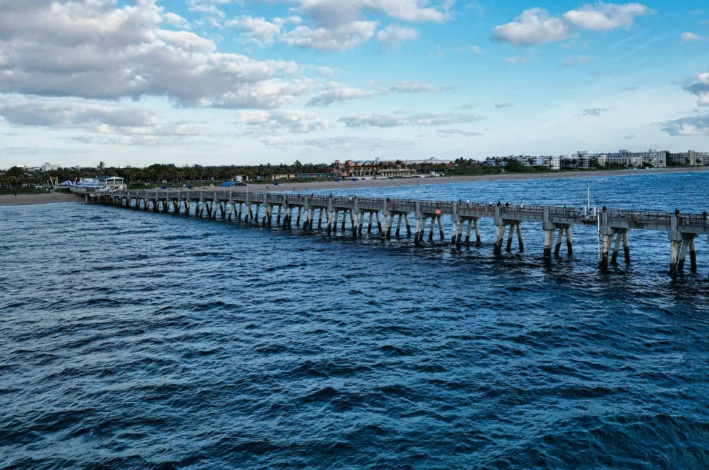
Add bookmarkThe Oceanographic Survey Vessel market is one of the fastest growing in the naval sector with 29 vessels on order in nine countries along with current requirements for at least eight new OSVs worth $1.6 billion. Moreover, Defence IQ’s analysis forecasts requirements in at least 20 countries over the next five years worth up to $5 billion.
So why are we seeing this rapid increase in demand for OSVs?
The reasons are many, but it all boils down to the phrase: Information is power. OSVs are simply tools for collecting, disseminating and analysing data about the marine environment, so the more governments know the more they can do. Protecting and policing sovereign EEZs is central to this. Data gathered by these vessels enable coast guards and naval authorities to outwit poachers. Information garnered by OSVs also aid in disaster management and can help nations better understand undersea mineral and hydrocarbon wealth in their waters.
Furthermore, OSVs offer a range of multirole capabilities, and with budgets tightening and the threat landscape becoming broader and more complex, navies are increasingly seeking platforms that can perform more than one function in multiple environments. It’s the ‘more bang for your buck’ argument. For OSVs, these multirole capabilities include collecting military hydrographic and oceanographic data to support surface warfare, submarine operations, mine warfare, anti-submarine warfare, and amphibious operations.
And finally, you only need to look at the creation of a new island in the South China Sea to understand the security implications of knowing what lies under the surface of our oceans. The Philippines do not have a known requirement for an OSV at present, but others in the region do, including Bangladesh and New Zealand.
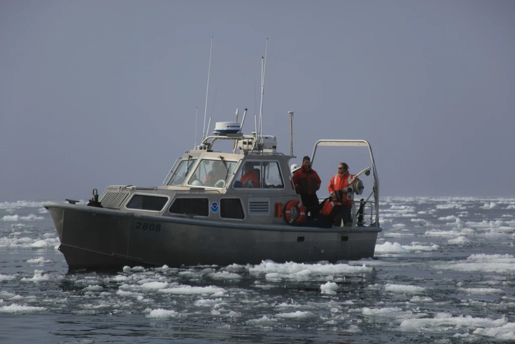
Defence IQ recently spoke with Lieutenant Commander Tim Hall, the capability manager for littoral warfare within the naval combat capability working group in the New Zealand Defence Force. The NZDF currently has a requirement for a hydrographic vessel and is widely thought to be pioneering the use of OSVs. We asked Lt Cdr Hall why the NZDF was seeking to boost its hydrographic capabilities and why it was important at this time.
“The single biggest driver is provision of freedom of manoeuvre for the fleet and the wider NZDF,” said Lt Cdr Hall. “This means rapid, accurate and reliable hydrographic survey that navigators can rely on.
“In the South Pacific existing charting can be scarce, or old, or both, which adds a further challenge. Sometimes a few decimetres can be the difference between providing landing-craft access or not, so we have to be absolutely certain of ourselves when we say that the way is deep enough and free of hazards.
[inlinead]
“We are also looking to harness efficiency and safety of remote and autonomous systems as force multipliers in the field.”
The RNZN hydrographic, mine counter measures and clearance diving capabilities all recently merged into a single operational unit with one commanding officer, Lt Cdr Hall told Defence IQ. As a result, New Zealand is looking to replace an already decommissioned hydrographic ship (HMNZS RESOLUTION) and its ageing dive tender with a single, far more capable ship.
“Merging these capabilities and combining them in one ship focuses their attention on amphibious/Advance force operations, which is a key driver in the NZDF’s strategic plan,” said Lt Cdr Hall.
“Our new ship will include hydrographic capabilities appropriate to our operating area in the South Pacific. Any autonomous systems we acquire will have bathymetric sensors as well as object detection, and we are looking into expanding our exploitation of technology especially in remote sensing.”
New Zealand is highly active in the hydrographic space, which is why the government is investing in its future capabilities. Both the Hydrographic and Diving Groups of the Littoral Warfare Unit are currently training for exercises and operations in 2016 that will include participation in RIMPAC - the world's largest international maritime warfare exercise – and the removal of explosive remnants of WWII in the Pacific. The country provides a great example of how the military are assisting with the wider marine environment. We asked Lt Cdr Hall how new or emerging survey vessel technologies can be utilised for the broader maritime mission system picture.
“One area here that stands out for me is the proliferation of multibeam systems. This means that as their cost comes down they are gaining application in various areas – for example increasing portability.
“As far as OSV utility specifically, an OSV can provide a very useful platform given its large working deck, generous accommodation space, basic helicopter capability and ship handling (Dynamic Positioning). Once modified for military use and properly employed OSVs can enable crucial capability in the spectrum of military operations.”
Lt Cdr Hall is presenting at the inaugural Oceanographic Survey Vessels conference (7 - 9 June, 2016 in London, UK), which is the only event designed specifically for a naval audience. “I’m enthusiastic about the importance of organic hydrographic capability to the Royal New Zealand Navy and I’m looking forward to learning why others are realising the benefits of hydrography and oceanography in a defence context,” he said. Meet Lt Cdr Hall and other leading military authorities at OSVs in June – find out more about the event overleaf.