Geospatial Location Processes in Applied Defence Scenarios: Whitepaper
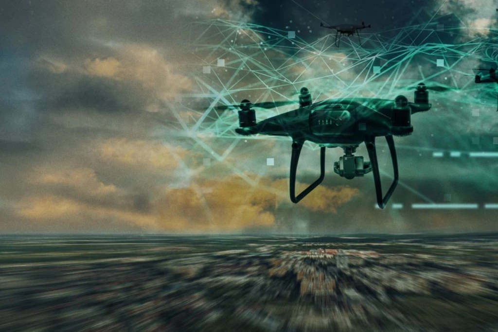
Add bookmarkEvery aspect of defence and intelligence decision support involves geographic information. Military decisions depend on digital maps; location coordinates from GPS units on vehicles and war fighters, and digital imagery from UAVs and satellites. Different types of map data and sensor data (including video) can be combined to create new location information. For example, given elevation, surface geology and hydrology data, geographic information systems can calculate the best off-road routes for military vehicles. Time of arrival, visibility, audibility and radio reception over that terrain can also be calculated. Such "geoprocessing" can support targeting, logistics, aviation, signal intelligence, and human intelligence, all of which depend on location information.