What lies beneath: The unseen naval "arms race" in hydrographic survey capability
Add bookmark
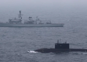
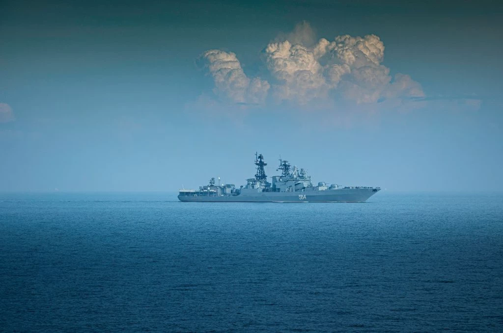
Amid excited talk of stealthy fighter aircraft starting to proliferate around the world—that US President Trump described as “invisible”—what any military commander, regardless of their branch of service knows, it is submarines that are the ultimate stealth force. So it is no surprise then submarines are seeing a, pardon the pun, buoyant market this decade led by multiple acquisitions in Asia. “Old navies” that have operated submarines for decades have long known that you cannot have an effective submarine fighting force without an intimate knowledge of your surroundings, or the undersea lay of the land.
This has predictably led new submarine operators to realise that their submarines aren’t going to be of much use unless they also acquire their own survey assets to accurately map the sea floor and gather scientific knowledge of their own coasts and seas in their area of operations.
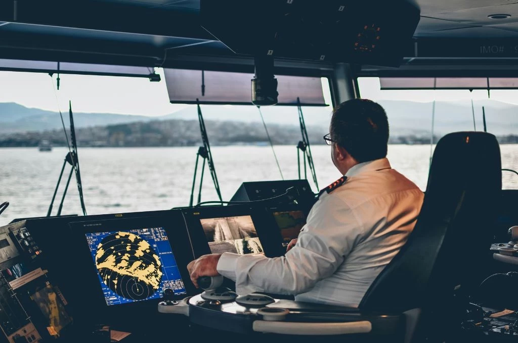
Submarines survive by hiding and this requires a detailed knowledge of every reef, undersea hill, mountain and rock formation to be able to know the best hiding places and best avenues of attack and safe retreat—and to deny use of them to your adversaries. And it is not just the topographical features of the undersea landscape; water temperature, density and salinity significantly affect the propagation of sonar waves underwater—a thorough and timely knowledge of which enables you to detect and track your adversary while remaining safely undetected yourself.
One of the most important arenas of intensifying competition between China and the United States is also the least obvious — in marine laboratories and on oceanographic research and hydrographic survey vessels
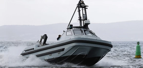
Acquiring hydrographic and oceanographic survey vessels and Autonomous Underwater Systems (AUVs) are just the beginning. This is largely the subject of an article picked up by Asia’s current affairs and geopolitics magazine, The Diplomat, where Steven Stashwick, a reserve US Navy officer who works as an analyst in New York argues that the military balance between China and the United States will rest largely on which is best able to exploit the ocean depths.
Whilst the widely-reported jostling between China, its neighbours and the US above water and in the air continues unabated, “one of the most important arenas of intensifying competition between China and the United States is also the least obvious — in marine laboratories and on oceanographic research and hydrographic survey vessels”, asserts Stashwick. It is a fact that without mastery of the seas’ oceanography, neither side can claim dominance over the undersea domain thereby “granting freedom of action to its submarines, and denying it to adversaries” he added.
The real prize in understanding what lies beneath is fusing data from multiple sensors; shipborne, undersea, in the air and in space and a clever AI to rapidly process it in order to create a near real-time picture of the undersea environment
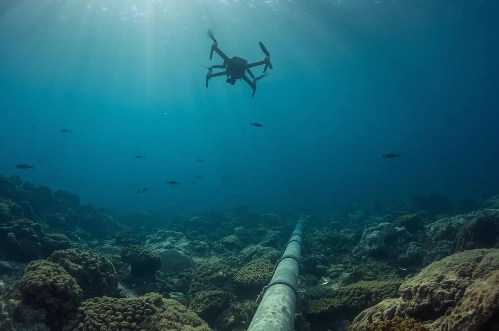
Creating an effective understanding of the maritime environment requires persistent long endurance systems with sensors and open mission systems integrated architectures that operate from below the sea right into space. Imagine the possibilities afforded by hundreds of self-powered underwater drones like the Wave Glider developed by Boeing-owned firm Liquid Robotics that can operate unattended for months transmitting data via satellite. Or the Submaran, a wind and solar powered surface and subsurface drone developed by innovative US start-up, Ocean Aero.
These and other undersea drones join farfetched new concepts at the US Defense Advanced Research Projects Agency or DARPA, that the agency is calling the “Ocean of Things”. One thing is clear: all these sensors are going to be generating terabytes of data and it is the analysis of this data which is the time-consuming bit. Like in the case of the still-ongoing search for the missing Malaysian Airlines aircraft, you still need trained humans to patiently sit watching hours of incredibly detailed ocean floor imagery generated by the synthetic aperture sonars mounted to a fleet AUVs busily searching for debris that might be a piece of the missing aircraft.
The future lies in advanced artificial intelligence or AI, trained to speedily consume mountains of hydrographic data in order to spot anomalies that might represent a submarine, a snooping enemy AUV or a sunken shipwreck. But the real prize in understanding what lies beneath is fusing data from multiple sensors; shipborne, undersea, in the air and in space and a clever AI to rapidly process it in order to create a near real-time picture of the undersea environment like we have only recently been able to successfully do above the waves and on land.