The Growing Role of Commercial Drone Technology in Defence Intelligence and ISR
Add bookmark
Intelligence, Surveillance and Reconnaissance (ISR) has traditionally relied on highly specialised military platforms, dedicated intelligence assets and lengthy acquisition cycles. That model is changing. Advances in commercial drone technology, geospatial intelligence (GEOINT), remote sensing and data analytics are creating new ways for defence organisations to collect, process and share information across increasingly complex operational environments.
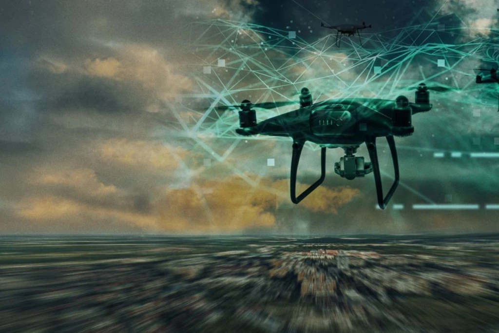
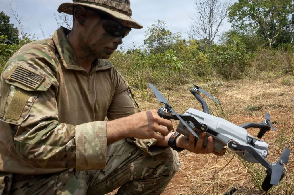
Commercially available unmanned aircraft systems (UAS) can now provide capabilities that were once associated primarily with purpose-built military platforms. Their relatively low cost, flexibility and ability to carry increasingly capable sensors make them useful for missions ranging from tactical reconnaissance and surveillance to mapping and situational awareness.
Commercial systems are not replacing dedicated military ISR platforms. Instead, they are becoming another layer within a broader intelligence architecture in which military, government and commercial sources can complement one another.
From Commercial Technology to Defence Capability
The attraction of commercial UAS for defence organisations is partly practical. Traditional military aircraft and larger unmanned systems can provide substantial range, endurance and sensor capability, but they can also involve significant procurement, maintenance and operational requirements.
Commercial systems offer a different proposition. Smaller platforms can potentially be acquired and deployed more rapidly, while commercial manufacturers can iterate hardware and software at a pace that can be difficult to replicate through traditional defence procurement cycles.
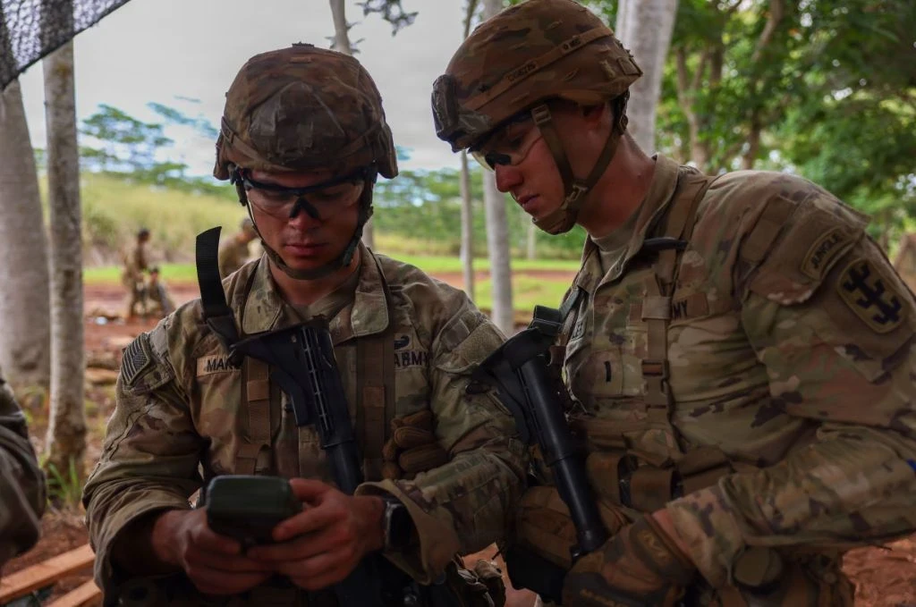
The U.S. Army has increasingly explored commercially available small UAS as part of its efforts to integrate rapidly evolving technology into tactical operations. Army reporting on commercial small UAS highlights the use of commercial drones for intelligence, surveillance and reconnaissance and their potential role in supporting battlefield decision-making.
The growing diversity of unmanned systems has also made it important to distinguish between platforms designed for different operational roles. Military drones can vary significantly in size, endurance, payload and intended mission, ranging from small tactical systems to larger platforms designed for persistent surveillance. Understanding these differences provides useful context for assessing where commercial UAS capabilities fit within the broader defence ecosystem.
The result is an emerging model in which commercial innovation can feed directly into defence experimentation, capability development and operational use.
ISR at the Tactical Edge
One of the most significant applications of commercial UAS is tactical ISR.
Small UAS can provide commanders and units with an aerial perspective without requiring access to larger aircraft. Depending on the platform and payload, this can include electro-optical imagery, thermal information, mapping data and other sensor outputs.
For tactical users, however, the value is not simply the image itself. The greater benefit is the ability to obtain relevant information quickly enough to influence decisions.
This supports the wider ISR cycle: collecting information, processing it, exploiting relevant data and disseminating useful intelligence to decision-makers.
NATO's ISR architecture illustrates the importance of combining multiple sources. Its Intelligence, Surveillance and Reconnaissance Force integrates information from its own platforms with data received from NATO members and other sources before producing intelligence products for decision-makers.
Commercial UAS can therefore be viewed as another sensing layer within a larger intelligence ecosystem rather than as standalone replacements for strategic ISR assets.
The Growing Importance of GEOINT and Remote Sensing
The role of commercial technology extends beyond drones themselves.
Modern ISR increasingly depends on the integration of aerial imagery with geospatial information, satellite imagery, mapping products and other remote-sensing datasets. The objective is to turn individual observations into a more complete understanding of an operational environment.
The U.S. National Geospatial-Intelligence Agency (NGA) provides an important example of this approach. The agency integrates commercial capabilities from satellite and sensor operators and GEOINT providers, including imagery, non-imagery data and analytical services.
In 2025, NGA selected 13 vendors for its $200 million Luno B commercial data contract, providing the national security community with access to commercial GEOINT data and analytical services.
These developments demonstrate a broader shift: commercial sensing is no longer viewed simply as a supplementary source of information. It is increasingly being incorporated into formal government intelligence workflows.
For defence organisations, the implication is significant. The value of a commercial sensor increasingly depends on how effectively its data can be combined with information from other platforms and sources.
Ukraine and the Acceleration of Drone-Based ISR
The war in Ukraine has provided one of the clearest demonstrations of how rapidly drone technology can influence modern military operations.
Small UAS have become closely associated with battlefield observation and reconnaissance, while their widespread use has simultaneously accelerated the development of counter-UAS capabilities.
NATO has highlighted the lessons emerging from the conflict. In February 2025, the Alliance stated that the war in Ukraine had demonstrated how effective and dangerous small drones can be and emphasised the importance of improving the ability to detect, identify, track and respond to these systems. NATO's assessment of small-drone developments provides further context on the evolving counter-UAS challenge.
This creates an important distinction between commercial availability and military utility. A drone may be inexpensive and readily available, but its effectiveness in an ISR environment depends on factors including sensor performance, communications resilience, data processing, cybersecurity, interoperability and operational integration.
The lesson is therefore not simply that defence organisations need more drones. They need better-connected sensing capabilities that can contribute effectively to the wider C4ISR architecture.
Commercial Data and Strategic ISR
The commercial contribution to ISR also extends into the strategic domain.
Commercial satellite imagery and other remote-sensing services can provide repeat observations of locations and activities of interest. When combined with UAS imagery and other intelligence sources, these datasets can contribute to a broader temporal and geographic picture.
NGA has reported the delivery of hundreds of millions of unclassified images to government missions, illustrating the scale at which commercial and government geospatial information can contribute to intelligence workflows.
The advantage of commercial data can also be its shareability. Unclassified imagery and analysis may be easier to distribute across government agencies, coalition partners and other authorised organisations than highly classified intelligence.
For multinational operations, this can become particularly valuable because information-sharing requirements often extend beyond the organisation that originally collected the data.
Interoperability Is Becoming a Core Requirement
As commercial systems enter defence environments, interoperability becomes increasingly important.
A drone that produces high-quality imagery has limited value if its data cannot be securely transmitted, processed or integrated with existing command-and-control and intelligence systems.
The same principle applies to GEOINT. Defence organisations may have access to large quantities of commercial imagery, but extracting operational value requires systems capable of managing, analysing and fusing those datasets.
This is particularly important within C4ISR environments, where information must move efficiently from sensors through processing and exploitation functions to the personnel responsible for operational decisions.
Defence IQ's C4ISR Global programme similarly places emphasis on integrating sensors, surveillance systems, command and control and decision-making across multiple domains.
The future of commercial ISR will therefore depend as much on integration as on individual platform performance.
From Hardware to Data Advantage
The next stage of commercial drone adoption is likely to focus increasingly on what happens after data is collected.
Artificial intelligence, computer vision and automated analytics can help users process large volumes of imagery and identify changes or objects that may require further investigation.
This is particularly important as the number of sensors and collection platforms increases. Human analysts cannot manually examine every image or video stream in real time.
AI-enabled processing can help prioritise information, identify patterns and support analysts, although human oversight remains important when intelligence is being used in consequential defence decisions.
The competitive advantage will therefore increasingly come from the complete chain - sensor, communications, data processing, analytics and dissemination - rather than from the aircraft alone.
Challenges and Limitations
Commercial UAS also introduce challenges.
Cybersecurity, supply-chain assurance, communications resilience and data integrity are major considerations when commercial technology is used in sensitive defence environments. Platforms must also operate within regulatory and procurement frameworks that may differ significantly from civilian applications.
There is also the question of reliability. Commercial technology can evolve quickly, but defence users require systems that can perform consistently under demanding operational conditions.
Interoperability can present another challenge. Introducing multiple commercial platforms into an existing defence architecture can create fragmented data formats, communications requirements and support arrangements if common standards are not established.
For these reasons, defence adoption is likely to remain selective. Governments will need to balance the speed and innovation of commercial technology with security, interoperability, assurance and lifecycle requirements.
C4ISR Global Featuring Space Operations 2027

The 2-day agenda will provide insight into the technologies, programmes and operational challenges shaping C4ISR and Space Operations. With an expanded Space Operations stream alongside dedicated sessions on ISR, intelligence, AI, cyber, communications and command and control, the programme explores how these capabilities are evolving and integrating to deliver decision advantage across the multi-domain battlespace.
Learn MoreA More Distributed ISR Architecture
The growing role of commercial drones is ultimately part of a larger transformation in ISR.
Rather than relying on a small number of highly specialised platforms, defence organisations can increasingly combine information from multiple layers: tactical UAS, larger military aircraft, commercial satellite imagery, ground-based sensors, open-source information and other GEOINT sources.
The objective is a more distributed and responsive intelligence architecture.
Commercial technology is particularly valuable because it can expand the number of available sensing options and shorten the distance between technological innovation and operational experimentation.
For defence organisations, the question is therefore shifting from whether commercial drones have a role in ISR to how effectively those systems can be integrated into the wider intelligence enterprise.
As UAS technology, remote sensing and data analytics continue to advance, commercial capabilities are likely to become an increasingly important component of the C4ISR landscape - not as a replacement for military ISR, but as a complementary layer that can provide additional collection capacity, flexibility and speed.