Sailing back from Mars
Add bookmark
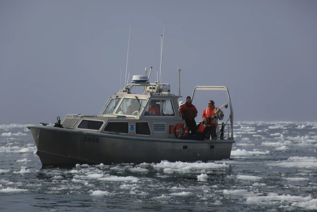
I was amazed to learn that the topography of Mars is better known than the topography of our own seabed. This fact was echoed by Admiral Bruno Frachon, the chief of the French naval hydrographic office, SHOM, at the recent OSV 2016 conference in London this June organised by Defence IQ. But that is not the principal reason navies are investing anew in fleets of hydrographic and oceanographic survey vessels to help build a better picture of the vast breadths and depths of our oceans.
If only there were a few operational naval commanders at the OSV 2016 conference, they would have gained an understanding of how the arcane and under-appreciated science of hydrography is so critically important to the success of their missions and would be lobbying their governments for more cash to let them acquire more ocean survey capability. There seemed a real sense of urgency in the dialogue and discussions; an urgency to learn how to go about procuring a survey capability that many navies realise they so desperately need. Alongside discussion of what is essential, what can you do without when building the requirement for a survey vessel? The message was clear: Regardless of whether we’re talking about Mine Countermeasures, Anti-Access, Area Denial (A2/AD) strategies, submarine operations, anti-submarine warfare, or naval patrol, a thorough understanding of the undersea ‘lay of the land’ and the undersea mission environment is the ultimate game changer.
These and many other issues were discussed at OSV 2016 by an audience of nearly 100 professionals and chaired by former Royal Navy officer, Rear Admiral Nick Lambert, who served as the UK National Hydrographer up until December 2012. “Panoramic” was how Guillaume Dandrieux from iXBlue, the French shipbuilder and subsea sensor manufacturer described the conference. Comprising heads of naval hydrography from literally every corner of the globe including Peru, UK, Thailand, Vietnam, Bangladesh, New Zealand, Uruguay, Brazil, Colombia, France, Italy, Algeria, UAE, Indonesia, The Netherlands and representatives from NATO, it certainly was panoramic. Importantly, more than half the navies represented had active requirements either for new survey vessels or upgrades to existing ships which they outlined in their presentations. Industry attendees were seen paying particularly close attention.
Another aspect of the conference much appreciated by industry was the research-led approach in selecting the naval participants. John Millet from Nova Scotia-based Hawboldt Industries, a firm specialising in engineered deck equipment for the marine and shipbuilding industries was in agreement.“Hugely informative”, he said. “As a vendor, it is critically important for us to learn about new build projects at the very early stages”.
According to many attendees, what made OSV 2016 special was the strong participation from industry covering a vast array of competencies ranging from ship building, ship design and propulsion; survey equipment, sensors and software providers to navigation, positioning, autonomous systems and satellite communications. “This just added to the diversity and depth of discussion that I haven’t seen anywhere else”, noted Wade Carson, Vice President of VARD Marine, the Vancouver-based ship design firm owned by Italian shipyard, Fincantieri.
Multi-Mission, Multi-Role
If there was one trend that all navies seemed to be in agreement with, it is that any new survey vessels they will acquire have to be multi-mission. There are practical reasons for this; for one, it is easier to sell the idea internally to your government when you say you are getting the capability of two, three or more ships in one vessel. Vice Admiral Fernando Palmer Fonseca from the Directorate of Hydrography and who also serves as a special advisor to the Brazilian Navy said, in their case, this was because the Brazilian hydrographic service has multiple ‘customers’ that include the navy itself, the science and technology ministry and PETROBRAS, the state-owned oil monopoly among others. “They all have different needs that require ships with different capabilities.” observed Admiral Fonseca. “It would be better if all our ships were multi-mission then we wouldn’t need as many ships as we operate now”, he added. A fact that Dutch shipbuilding giant, Damen Shipyards, is betting heavily on as they used the OSV 2016 conference to launch their Multi-Role Auxiliary Vessels (MRAV) range. “The idea behind these vessels is to create a basic platform that can be configured to a variety of roles that include hydrographic survey, coastal transport, submarine support, diving operations, torpedo recovery, ROV and UAV deployment, Search & Rescue and coastal infantry operations among other things”, explained the ex-Royal Netherlands Navy admiral who now works as the principal naval advisor to Damen Shipyards.
The really big breakthrough in ocean monitoring is the growing capabilities and endurance of autonomous undersea drones that can remain at sea for months continually transmitting survey data. As the costs to acquire and operate survey ships goes up, free roaming autonomous systems can act as a force-multiplier to a nation's survey fleet while providing invaluable intelligence on surface and subsea movements. So if increasing survey capacity is important, Fugro, another Dutch multinational providing survey services mainly to the oil and gas industry, came up with the innovative proposition of offering to provide survey ships, training and services to navies in need of extra survey capacity. Even if a navy signs a contract tomorrow for a new survey ship, it will be at least a year or two before any survey capacity starts to come online. “An excellent reason to use Fugro’s services in the meantime or when surge capacity is urgently needed”, noted Don Ventura of Fugro.
The somewhat ominous takeaway for most navies was the realisation that you don’t need to have a highly experienced hydrographer actually on board survey vessels at all. “As long as you have the ability to process the data on board the vessel in real-time and transmit the picture back to home base ashore”, explained Mark Pronk of Teledyne-Caris, a firm headquartered in Canada that sells hydrographic data processing software used by most survey vessels, the hydrographer can be back at base directing the operations of two or more survey operations simultaneously. Does this mean we’ll need fewer hydrographers in the future is what I wanted to know. “Oh, of course not”, replied Mark with a gleam in his eye. “We’ll need more ships!”
If only we can get enigmatic Space-X and Tesla Motors entrepreneur, Elon Musk, excited about ocean survey instead of planning to go live on Mars.